Wednesday, May 20, 2015

Dayhike. Mt. Balagbag / Maranat Falls (Traverse)

When itchy feet strikes… the result would be either lounging on a beach or climbing a mountain. And since we just had our dose of summer in December of course we had to balance the scale thus my first climb for 2015! (happy dance)

Cath out of the blue sent message on FB chat informing of such hike she said she wanted to do Mt. Balagbag (located in Rodriguez Rizal with 777MASL) this time. Me seeing that the IT which is Saturday was not really interested because Hello! Im the only one in our group who works on a Saturday! But still wasn't strong enough to resist checking out links.

Do I wish to join? ABSOLUTELY! Will I file a leave to accommodate the climb? NO! (they said im a workaholic, I say just being responsible)

Still I cant resist joking “Sabado ba talaga? Hindi pwede Sunday na lang para sama ako?”

Not really thinking they would adjust to my schedule – I was surprise to receive a text saying that they are willing to adjust the schedule to accommodate me (awwww). So Sunday dayhike it is. :)

Since we’re all travelling from Cavite call time is very early, we were 3 hours away from Quezon City where we will be catching the bus going to Tungko.

IT ba ikamo???
We started ascending at 9am  (we had to stop at Tungko and have our breakfast before the climb) the sun being up already kind of makes the bare trail a little harder because there is no coverage from heat.

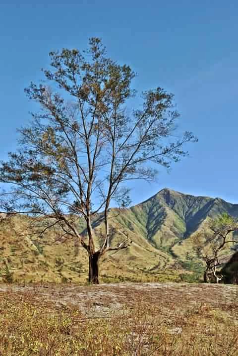
Bare Trail
At the Gate


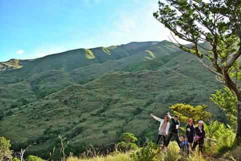
Groupie! Regie, Ey, Pia, Tin, Feng. Cath anf Myself


MisAdventures…

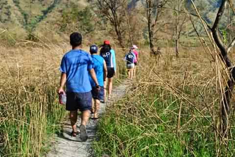
And because it a 2/9 in difficulty level we didn’t get a guide. Just follow the trail and everyone else and you will not get lost we didn’t. It was really easy, an hour or two and we were already there not to mention the stop for photo ops along the way so yeah, no worries…

Not until we decided to visit Maranat Falls and that’s where we “almost” got lost :p

The path going to the falls is really tricky with more than one trail and in our case asking the locals got us confused at some point. So Reggie the only guy in our group of 6 girls had to leave us while resting to find the correct trail.


Need to review our Botany Lesson…

One local said to look for the twin Anahaw Tree “not so far” from where we are indicating that we are near the falls. Again by local standard “not so far” is equivalent to 2 hours of trekking. And its seems like none of us remember how an anahaw tree looks like so we end up being disappointed when ever we come up with an “anahaw wanna be” tree.

Kambal na Anahaw

Traverse?! Seriously???

Not being a full pledge mountaineer I have no idea on what “traverse” is. I had to look it up on my phone dictionary as it says “to go over the side, cross or climb over and down the other” In tagalong (my interpretation at that time being tired from walking under the scorching heat) “akyat-baba”. I was like ooookay its not like I could back out or anything but after minutes and hours on the trail I was starting to not like it.

But then God has really a way to shut me up from my silent rant on how tired hungry and thirsty I am because along the way we came across some people – boys actually who carries sacks of charcoal (yes plural dahil more than one) they need to transport it all the way to the market. So again I have no reason to complain because compared to them my backpack is a lot lighter and I have a far better footwear compared to them being barefoot.

As we passed the famous Kambal na Anahaw the trail got a lot harder “literal na pababa” and tho we can see the falls from where we are, still we need to go down the very steep trails consisting of rock and boulders before we could actually reach the falls.

We can already see the falls from where we are
No exaggeration but it felt like my knees will give up on me anytime. I was like “mind over mater lalalala mind over matter kaya ko to...’”

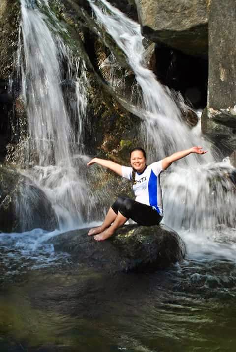
But then the Falls was just WOW, the water sooo cold and was reward enough.


And we just had to explore...


And explore...


Di' pa kuntento... may isang falls pa sa taas...


We were not prepared for a night trek so we had to leave early before its gets dark.

Bilis selfie bago dumilim!


Sunset!
This is so far my most MAHIRAP climb ever! My knees were barely holding me up, every step hurts. I was even starting to burn up for fever on our way back to manila.

Would I do this again? DEFINITELY! I will just have to exercise more. :)


Friday, April 24, 2015

EXPLORING ZAMBALES: MT. PUNDAQUIT / ANAWANGIN COVE / NAGSASA COVE / CAPONES ISLAND

“I shall return!”

T’was my last word as I watch Anawangin Cove got smaller from our boat.

 August 2014 as I celebrate being 30 and 1 (pre celebration actually because my actual birthday is september) I was again got “kaladkad” on weekend trip to Zambales. It was probably the only birthday weekend I can afford for myself (its very rare that I got to arrange my work schedule to accommodate my lakwatsa days) and yes I had the “best weekend ever” thanks to Pia, Bitoy and Emeng. Still, I promised that I would return because aside from anawanging cove and capones island there are still several island in zambales on my bucket list! J


ZAMBALES TAKE TWO!

Because year 2014 has rather been “busy” for all of us – and one out of the country. We decided to have year end trip. And because we wanted it to be a “sulit trip” we wanted a place where we can enjoy both the mountain and the beach plus the lighthouse (actually gusto lang talaga naming bumalik sa zambales so other place suggestion were practically rejected with sublte discouragement on the side J mega build up din sa place to get our way hahahaha).
So a day after Christmas – exactly after Christmas because our call time is 12am off we go to our much awaited “SAMAKA” year end trip.

Trivia: SAMAKA is not an official group. Hindi ako sigurado kung sino sa amin (definitely hindi AKO!) ang nag bansag ng name but it literally means “TARA SAMA KA!” kahit sino pwede sumama sa amin as long as he / she is willing to walk, ride a boat, climb whatever and yes sometimes cry.

Mt. Pundaquit.

Since my friends we’re basically all strong climber the trek will be kind of easy for them – especially without our backpack.

We started our trek at 6am (I think) Mt. Pundaquit is a 5 hour trek to Anawangin Cove where our boat will pick us up to get to Nagsasa Cove where we will set up camp and stay the night.


Anawangin Cove

From Mt. Pundaquit we can see the top of the Pine tree of anawangin cove. I still have vivid memories from my last visit on what it looked like especially the river. Unfortunately December I think is not the best time to go because the river dries up during this season.


Nagsasa Cove

Nagsasa cove is more or less an hour boat ride from anawangin. What I liked about nagasasa is their longer shoreline, bigger cove and lesser people. The CR is a lot nicer too J


Nagsasa Falls

This is not included in our usual IT but local kids mentioned a something about a Falls not so far from the cove during our kwentuhan session the day before so we decided to check it out after breakfast.

Going to the falls tho requires a guide. So after haggling and with the help of “Ate Kim Chiu” (the store owner) we agreed to a guide for 500.00 pesos J

So on to the the falls… trek time!


Sabi malapit lang daw…


Hmmmm…


Konti na lang…

konti na lang daw talaga… ayan o may tubig na!


Narinig nyo na ba lagaslas???
Yes! Malapit na!


Finally!

this is what sold us out. cold water and a chance to cliff dive

as usual i was the first to "literally jump" into the water :)

And because we are partial to the sea (obviously) seeing another body of water get us all excited thus the Photo ops.

Aside from the main falls there are two more mini falls ahead and we just had to explore :p


It almost took us more than an hour to get to the falls, we should have known the difference in perception of distance between the local who is used to walking as their mode of transportation. But hey! The Falls is more than worth it!

Capones Island

Last side trip. Capones island.

Because we really enjoyed the falls and as usual we lost track of time we left Nagsasa after lunch.
Capones island is about 30 minutes boat ride from Nagsasa more if the waves will not cooperate with us. And yes tho we have the perfect weather the waves decided to make our trip to Capones more exciting.

There are two ways to reach the Lighthouse:
1.       The shortcut. Boat will dock at the south side of the island leading the stone staircase. It will take 5 minutes walk to reach the lighthouse.
2.       The longcut. Boat will take you to the shore and you will have “literally” go around the island to reach the light house. More or less an hour walk.

And because Mr. Waves didn't feel friendly that day we weren't able to make it even near the staircase (kudos to our boatman because he did try)  huge rock litter the entire south part of the island making it impossible for the boat to dock without damaging the boat.

So our dilemma begins…

Boat man was honest enough to admit that the “longcut” tho passable is really not convenient because aside that it will take time the path is somewhat “challenging”. So we have option number two – boat will try to make it as near as the boat will allow BUT we have to swim to reach the shore.

Tired from the long walk going to and from the falls – option number two looks good to me but as I mentally count who could actually swim in our group, I knew we’re bound to another yet challenging “adventure”.

So armed with water and sarong to somewhat shield us from the heat and sharp grasses we’re off again to another trek…

lakad time

Had to go over the boulder… and this is just the beginning.


Rocky shoreline.


Had to go up the steep path.


Tada! The lighthouse :)


This trip really made my 2014 a lot memorable. Not only did I get a dose of my SAND, SEA and SKY for the entire weekend, more because I get to spend it my one of my favorite group.

Looking forward to more “lakwatsa” and adventures this year!